
Viewpoints and a short forest walk
Cruz del Carmen or Pico del Inglés, followed by the Sendero de los Sentidos.
- Duration: 3–4 hours
- No long hiking
- Ideal when short on time
Places guide · Rural Park
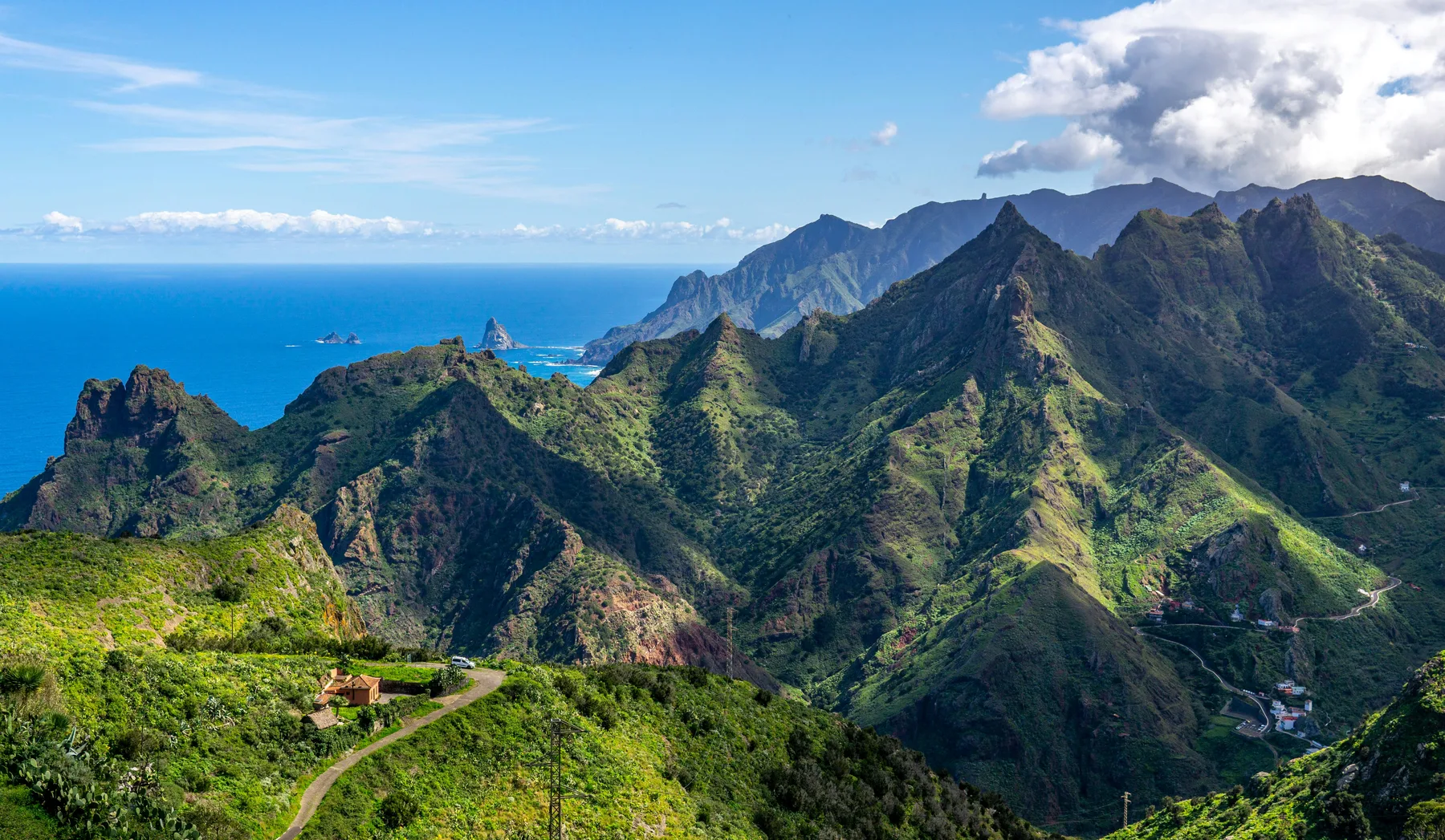
At the northeastern tip of Tenerife, less than half an hour from La Laguna, Anaga holds the island's oldest landscape: a laurel forest, misty ridges and an undeveloped coast of ravines.
Why it is worth the visit
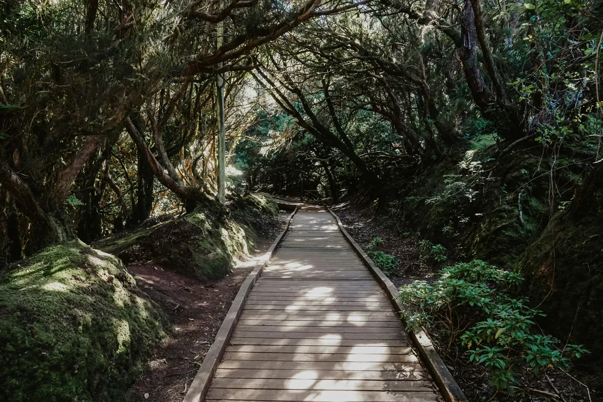
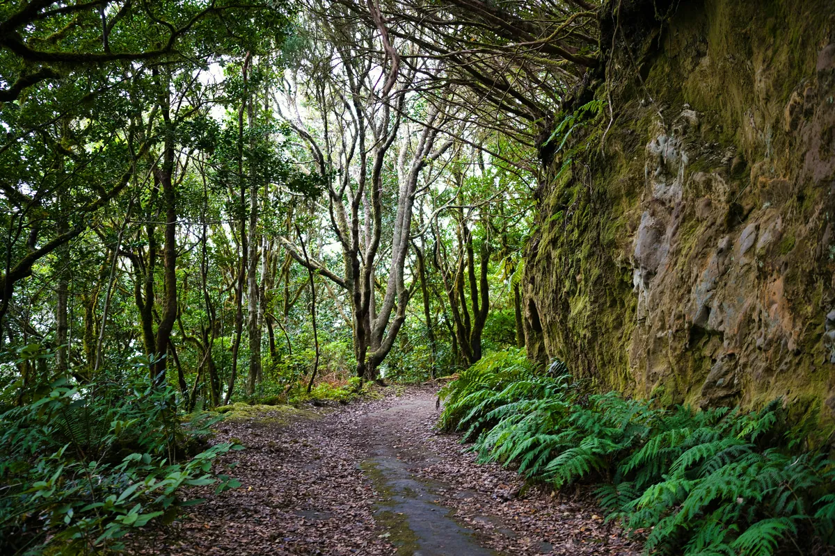
Anaga is a volcanic massif much older than Teide, carved into deep ravines and sharp ridges. The moisture its mountains trap keeps alive a laurel forest that once covered much of the Mediterranean before the last ice age and now survives in very few places on the planet.
Add to that a rugged coastline, with villages that for centuries could only be reached by sea or on foot, and that keep that isolation in their character.
What to see
Each stop links height, forest and coast. You don't need to visit them all in a single day.
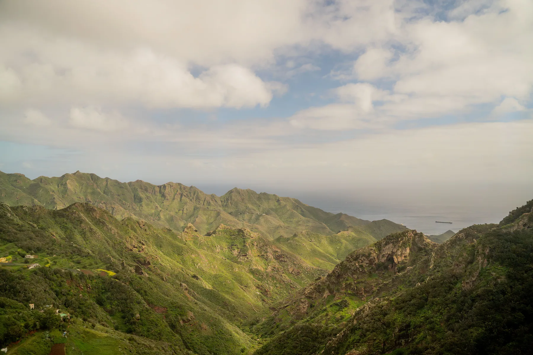
The two most accessible viewpoints in the park, with views towards Santa Cruz, La Laguna and, on clear days, the sea of clouds over the ridges.
A short, accessible stretch inside the laurel forest, and the best way to enter the forest without doing a long hike.
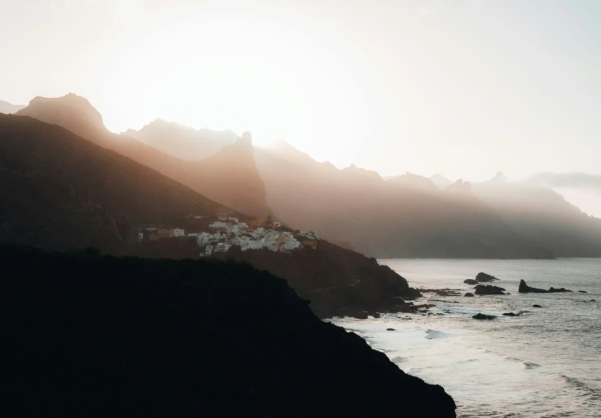
The best-known village on the north side, with its church and streets overlooking the Atlantic. The starting point for Benijo and Almáciga.
Dark sand, strong surf and rock stacks off the coast. Beaches without facilities, better for admiring than for swimming in peace.
The most remote hamlet in the park, at the end of the road from the east and the starting point of several hiking routes to the coast.
How to organise it
The most complete way combines height, forest and coast, but you don't need to do it all in one day.
Regulated access
Access to the park and to most viewpoints is free.
Several Anaga trails are protected and require prior authorisation from the Cabildo de Tenerife before you walk them. Before planning a specific hike, check the Cabildo's official website to confirm which sections need a permit and how to apply.
Practical information
Narrow roads and a microclimate of its own: what to know before setting out.
A mountain road with constant bends that crosses the park from south to north.
Cruz del Carmen, Pico del Inglés and Taganana fill up on days when the mist lifts, and in high season.
Mist is common on the summits even when the rest of the island is clear. Always bring a warm layer.
From short walks to multi-hour crossings; some, being protected trails, require advance booking.
The narrow, winding roads take their time at every stop.
Several guachinches (informal, family-run eateries) and restaurants on the north coast of the park serve watercress stew and fresh fish — a must-stop after the walk.
Both are less than half an hour away and let you end the day with heritage and food.
The most popular beach in the metropolitan area, on the way back from the north coast of the park.
Before you set off
Frequently asked questions
It is a mountain massif at the northeastern tip of Tenerife, declared a UNESCO Biosphere Reserve in 2015. It preserves one of the best-conserved laurel forests in the Canary Islands, along with coastal villages, ravines and viewpoints.
A full day is recommended to combine a viewpoint, a stretch of forest and a coastal village without rushing. With less time, it is better to concentrate on one or two spots.
General access to the park is free, but some protected trails require prior authorisation from the Cabildo de Tenerife. It is worth checking on the official website before planning a specific route.
It is possible with public transport to some points such as Taganana, but the most practical way to visit several viewpoints and villages in a day is by car, given how spread out the points of interest are.
More than 20 waymarked routes, from short one-hour walks to multi-hour crossings. Some follow protected trails and require advance booking.
The villages on the north coast, especially Taganana, have guachinches and restaurants serving watercress stew and fresh fish straight from the sea.
Next stop
Anaga rewards those who are in no hurry: a misty viewpoint, a trail under centuries-old laurels and a village that still lives facing the sea.